/filters:quality(90)/fit-in/970x750/coros-web-faq/upload/images/e4fb829cf32cb62b0cc237e0140dd947.jpeg)
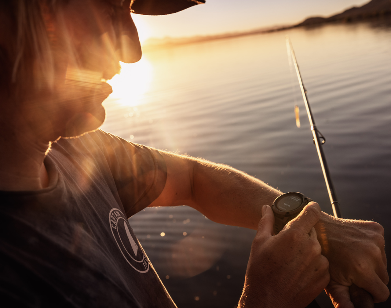
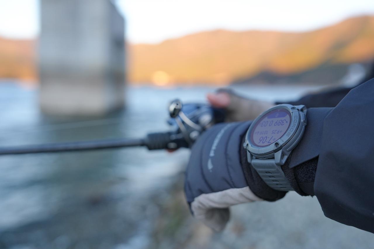
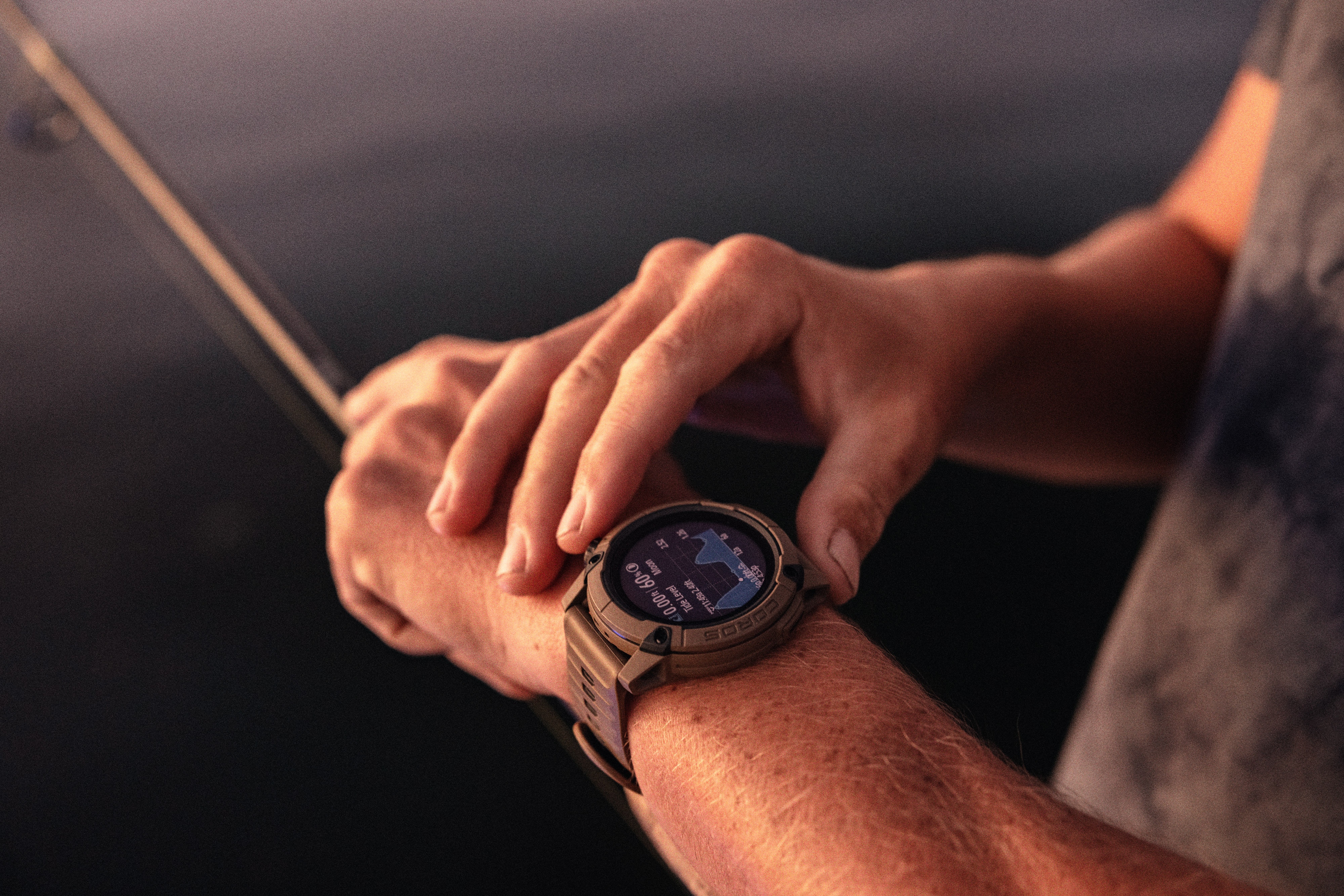
To get the most out of your time on the water, you need to balance two things: staying focused on your line and collecting accurate data to understand fish patterns. COROS solves this challenge through a dual-device ecosystem.
By utilizing a real-time Bluetooth connection, the watch handles GPS tracking and hands-free inputs on your wrist, while your smartphone acts as a high-visibility computer. This educational guide explains how this integration works and how to use it during your sessions.
Turn Your Phone into a Fishing Dashboard
The Extender mode in the COROS app is another possibility to visualize and record information during your fishing sessions. Instead of keeping your phone tucked away in a pocket, you mount it securely to your kayak, float tube, or boat console.
When Extender mode is active, it will sync with the COROS NOMAD watch.
Viewing Live Data
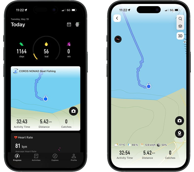
When you look at the Extender dashboard on your phone during a session, the screen is divided into clear, data-driven segments. Here is what you can monitor in real time:
- Activity Time: This tracks your exact duration on the water.
- Distance: Displays the total cumulative distance you have traveled.
- Catches: A live counter showing how many fish you have logged during the active session.
- Waypoints: Every waypoint is instantly marked on your screen.
- Moving Direction: A live compass and heading indicator that shows your precise drift or travel direction.
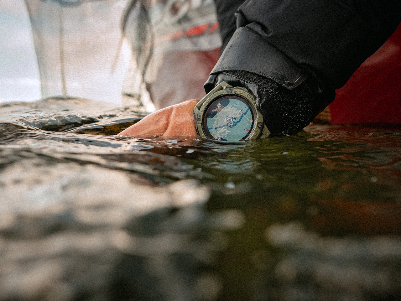
- Mapping: Displays your map and your position on it, to see your travel, and set directions.
- Weather Information: Displays live temperature, weather, wind direction and speed, and moon phase.
Record Information
The phone can complement the use of the watch, especially to add your fishing pictures.
Take Pictures
Visual evidence is key to remembering water clarity, weed growth, or crucial informations that you will use for the next sessions.
How to use it: Tap the camera icon directly on the Extender interface on your phone.
The result: The app snaps the photo and automatically attaches it to the exact GPS coordinate you were at when the photo was taken, embedding it into your session timeline.
Mark a Waypoint
Marking Voice Pins or Manual Pins, Catch, Cover or Structure is essential for mapping of your favorite body of water.
1. Using Voice Pin
This is the optimal hands-free method when you are holding a fish or managing your tackle with wet hands.
How to use it: Press the microphone button and start speaking your observation naturally ("10 pounder Bass with the Heavy rod and 1oz watermelon punching jig", "Large weed bed, three feet deep").
The result: The watch converts your voice memo and immediately syncs it to your phone. A custom icon appears on your phone’s live map at your exact GPS coordinates with the audio file and transcript attached.
2. Using Manual Pin
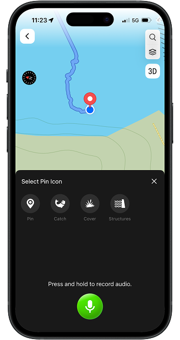
If you prefer a quick tactile input or want to log a spot quietly, you can use the manual pin system.
Tap the "Mark Waypoint" icon directly on the phone's touch screen dashboard. This allows you to select custom icons Pin, Catch, Cover or Structure on the spot.
You can also add Voice records or Pictures to your Manual Waypoint.